Tanah Melayu 1563
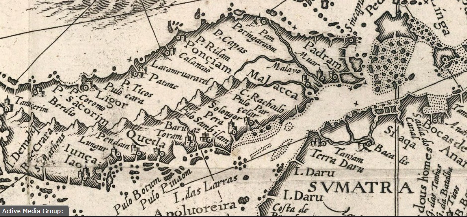

Tanah Melayu kurun ke 16. Sebelum British,
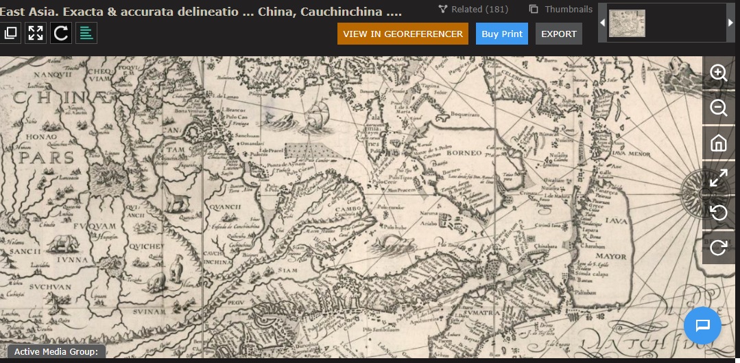
This map, titled “Exacta & accurata delineatio cum orarum maritimarum rum etiam locorum terrestrium que in regionibus China, Cauchinchina,” was created by Jan Huygen van Linschoten and Bernard Paludanus, and published in 1595. It measures 64 cm in width and 40 cm in height and is part of a book map published by Chez Evert Cloppenburgh.


Leave a comment